|
||
|
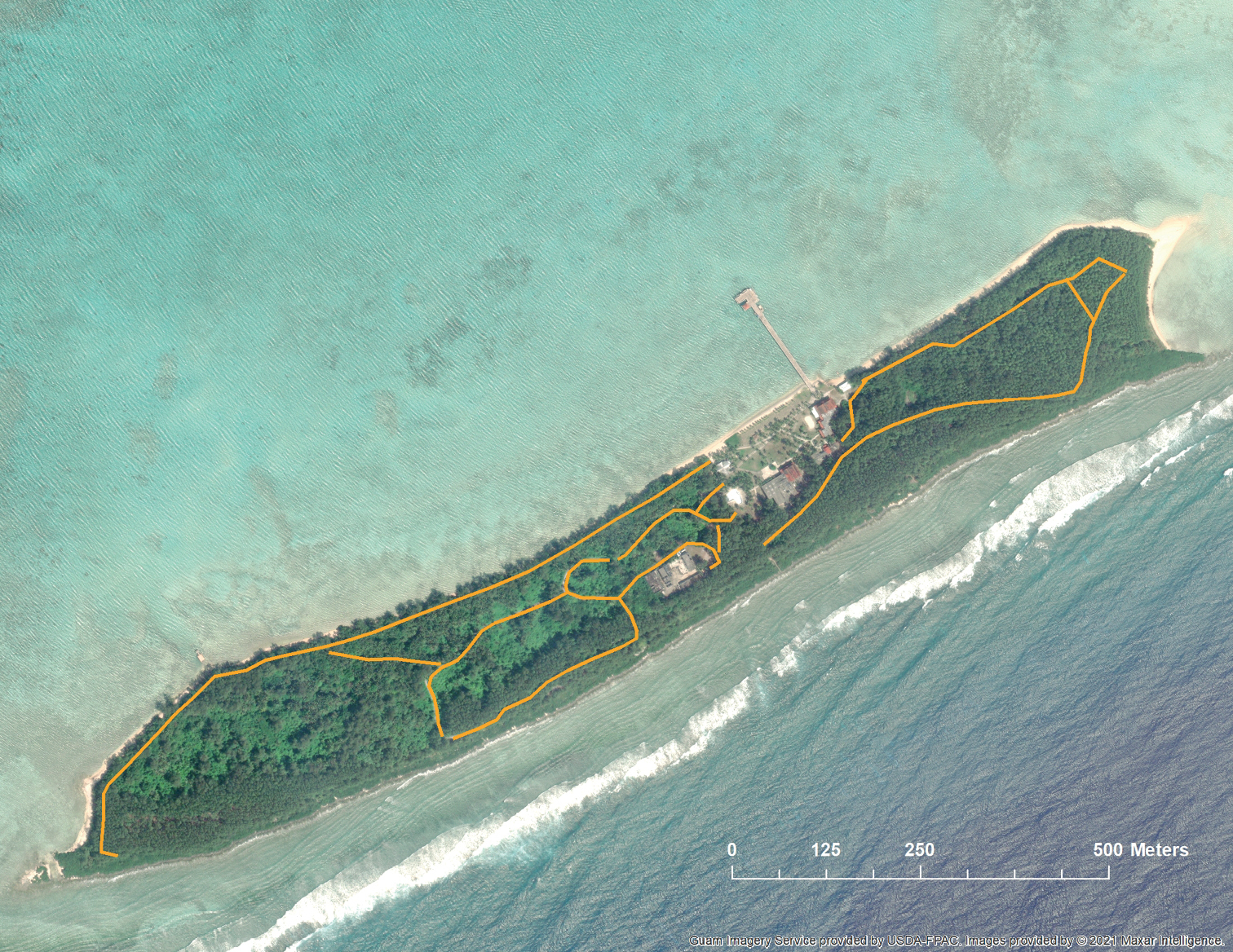
Map of Cocos Island 2.5 km from the southern tip of Guam, USA. Orange lines indicate locations of trails used for bait applications and trapping. The top of the image is orientated to the north. Image: Maxar Intelligence 2021. |
|
||||||||
| Part of: Siers SR, Nafus MG, Calaor JE, Volsteadt RM, Grassi MS, Volsteadt M, Collins AF, Barnhart PD, Huse LT, Yackel Adams AA, Vice DL (2024) Limitations of invasive snake control tools in the context of a new invasion on an island with abundant prey. NeoBiota 90: 1-33. https://doi.org/10.3897/neobiota.90.103041 |