|
||
|
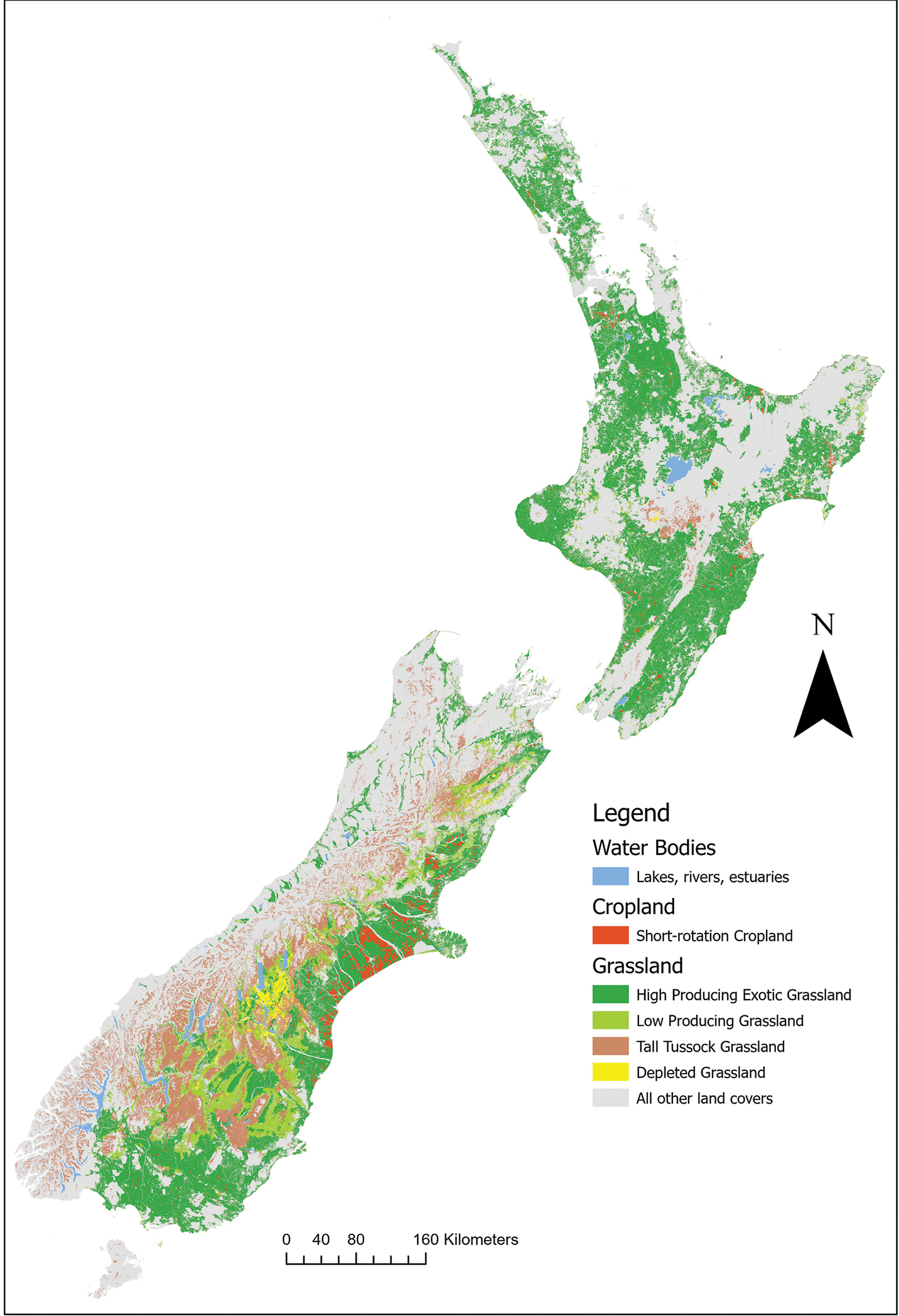
Map of New Zealand, showing the geographic distribution of the grassland and crop, land use classes. Land use classes sourced from the New Zealand Land Cover Database (LCDB), using New Zealand’s 1:50,000 topographic database (https://www.linz.govt.nz/land/maps/topographic-maps/topo50-maps). Reference: Thompson S, Gruner I, Gapare N (2003) New Zealand Land Cover Database Version 2: Illustrated Guide to Target Classes, Version 5.0_January 2020, 126 pp. |