|
||
|
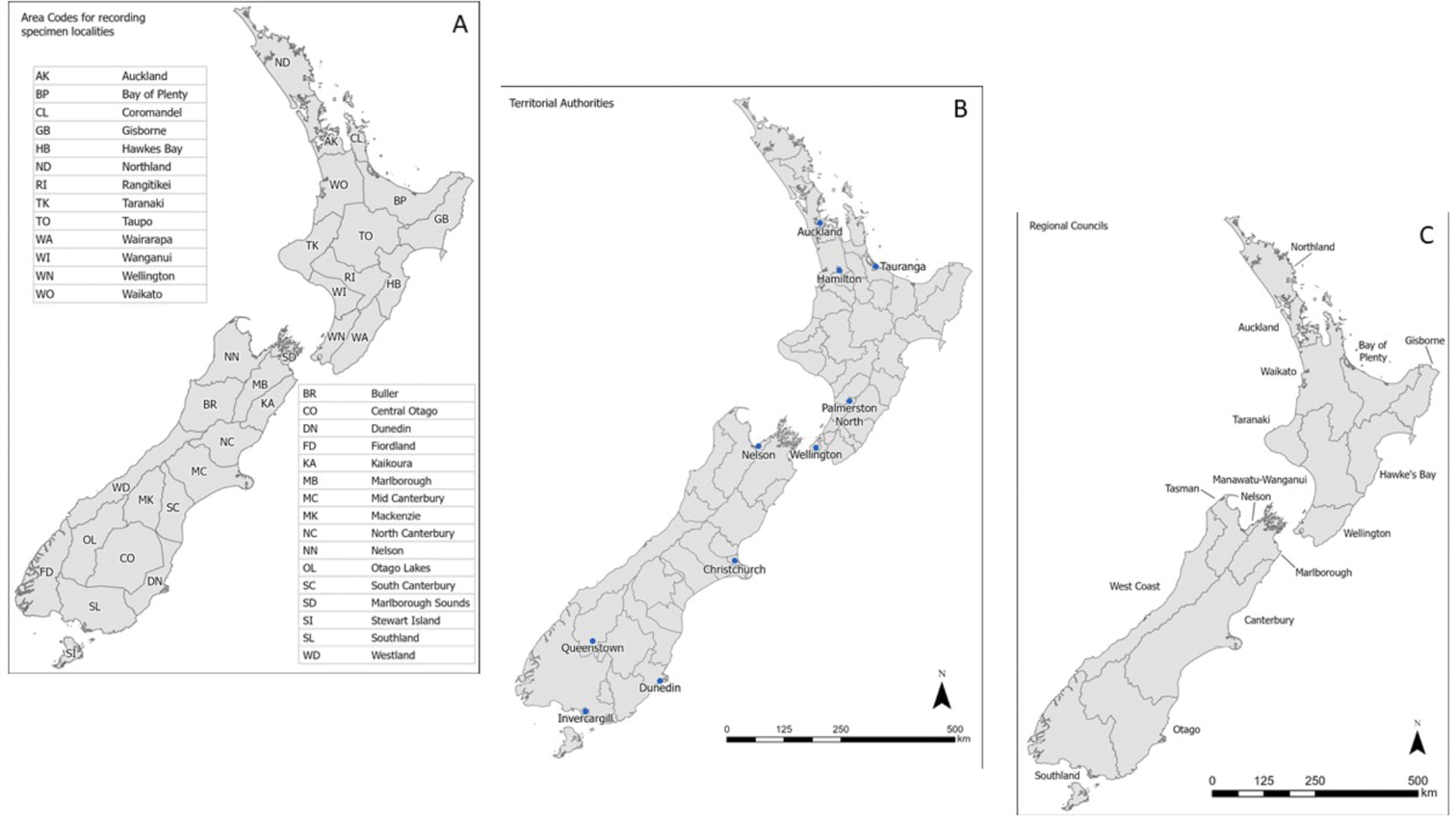
a map showing Crosby areas and boundaries used by the Ministry for Primary Industries (MPI) for recording detection areas of exotic organisms b territorial authorities and c region councils from which the annual population datasets were sectioned. New Zealand is divided into 16 regions and 73 territorial authorities. The regions are divided for local government purposes. Territorial authorities are the second tier of local government in New Zealand, below regional councils. Territorial authority districts are not subdivisions of regions, and some of them fall within more than one region. Maps generated using ESRI. ArcGIS Pro. Version 2.7.4. Mar. 6, 2021. https://www.esri.com/en-us/arcgis/products/arcgis-pro/overview |