|
||
|
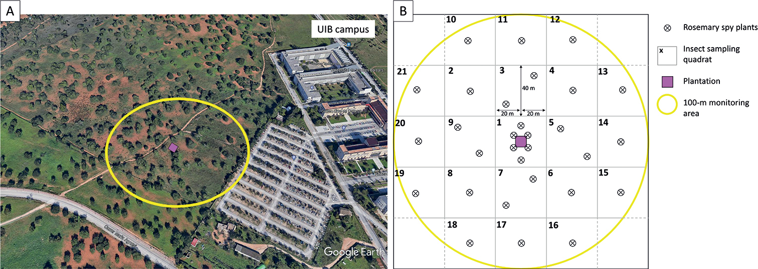
Surroundings of the sentinel plantation A Google Earth view (Google Earth Pro, satellite image of 6 May 2021) of the UIB campus with the location of the sentinel plantation (purple square) and the 100-m demarcated area around the plantation (yellow circle) B scheme of the plantation and the demarcated area. In the demarcated area, a floristic inventory was carried out, insect vectors were sampled in the determined quadrat and a rosemary “spy plant” network was established by planting evenly seedlings around the plantation. |